
 Image 1 of 1
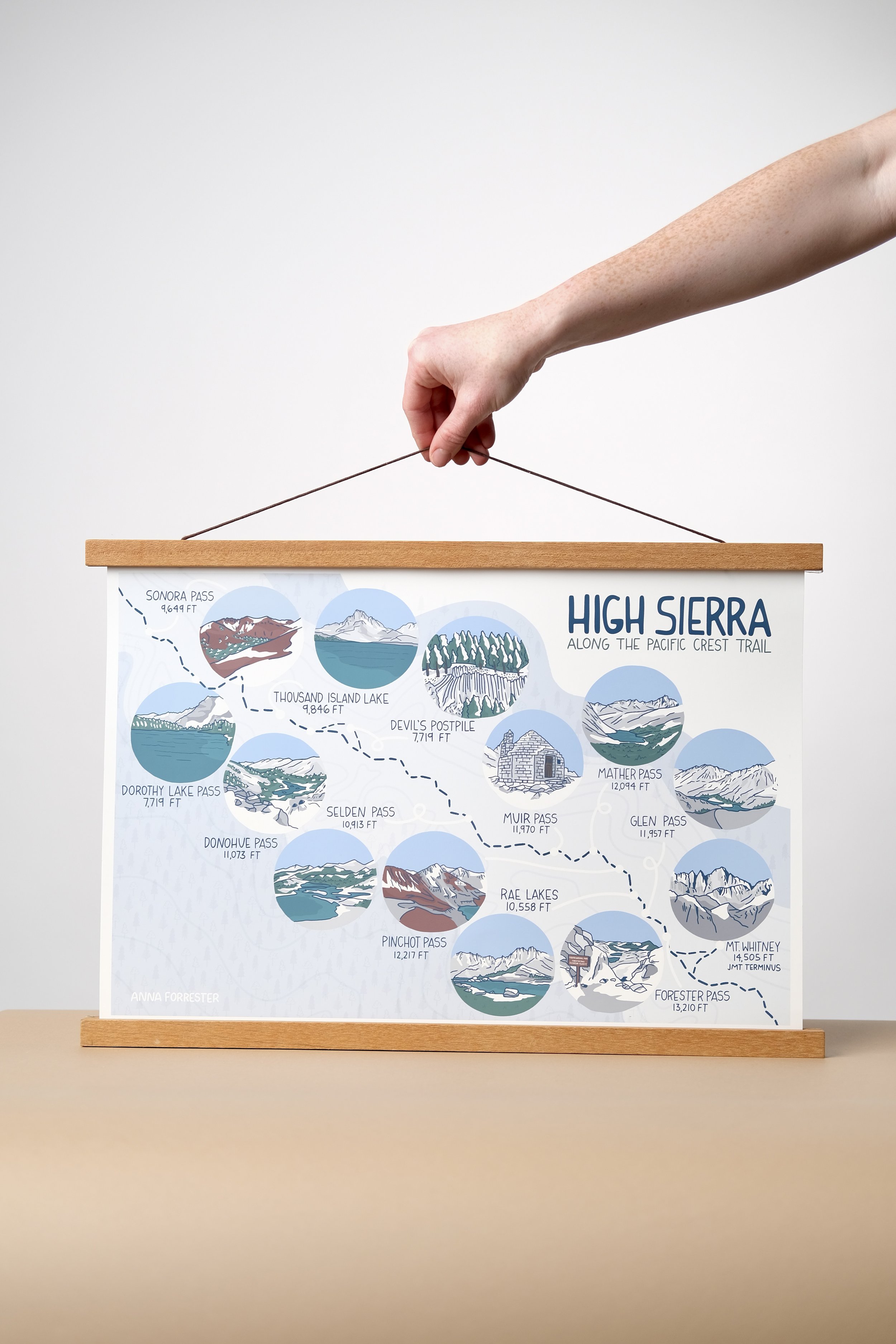
Illustrated map of the High Sierra along the Pacific Crest Trail in California’s Sierra Nevada. The map follows the trail 300 miles from Mount Whitney to Sonora Pass.
One size option - 13x19in - can be purchased with pictured hanging magnetic frame (teak stain) or without one.
Ships in 5-7 business days.